Storm Eunice Sheffield: Latest hour-by-hour forecast including when winds will be strongest

and live on Freeview channel 276
The Met Office said the weather warning for the city is valid until later today, with gusts of up to 60mph forecast.
In other parts of the country, forecasters said Eunice, which could be one of the worst storms to hit the UK in three decades, has been upgraded to a rare red wind warning, the highest level.
Advertisement
Hide AdAdvertisement
Hide AdThe red warning is in place for south Wales and the northern coast of south-west England until 12pm.
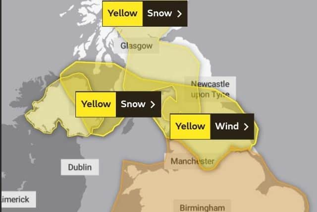

People have been warned to avoid travel if possible and to remain at home when winds reach dangerously high speeds.
In Sheffield, it is forecast that there is a 90 per cent chance of heavy rain from 11am to 2pm with highs of 7C and a 70 per cent chance of heavy showers at 3pm with high winds of up to 60mph.
The Met Office said the storm will bring rain and hill snow first thing today, before clearing northeastwards to allow a brighter spell to develop during the morning.
Advertisement
Hide AdAdvertisement
Hide AdTonight, additional bands of rain and hill snow will move across the region overnight, as winds continue to moderate following early gales in some locations, with a minimum temperature of -1°C forecast.
On Saturday, the Met Office says a cold and sunny start will be followed by some snow showers, primarily on the hills. Meanwhile, a band of rain and hill snow is expected to move in from the west this afternoon.
On Sunday, a maximum temperature of 8 °C is forecast, along with some early showers.
Met Office Chief Meteorologist Paul Gundersen said: “After the impacts from Storm Dudley for many on Wednesday, Storm Eunice will bring damaging gusts in what could be one of the most impactful storms to affect southern and central parts of the UK for a few years.”
Advertisement
Hide AdAdvertisement
Hide Ad“The red warning areas indicate a significant danger to life as extremely strong winds provide the potential for damage to structures and flying debris.
"Although the most exposed coastal areas could see gusts in excess of 90mph, winds will remain notably strong further inland, with gusts of between 60-70mph for most within the amber warning area, and up to 80mph in a few places.”

Below is an hour-by-hour forecast for today (February 18)
10am - Light shower (wind gust 30mph)
11am - Heavy rain (wind gust 37mph)
12pm - Heavy rain (wind gust 43mph)
1pm - Heavy rain (wind gust 54mph)
2pm - Heavy rain (wind gust 57mph)
3pm - Heavy shower (wind gust 60mph)
4pm - Heavy rain (wind gust 59mph)
5pm - Heavy shower (wind gust 55mph)
6pm - Light shower (wind gust 55mph)
7pm - Light shower (wind gust 52mph)
8pm - Light shower (wind gust 50mph)
9pm - Light shower (wind gust 46mph)
10pm - Light shower (wind gust 43mph)
11pm - Light shower (wind gust 40mph)