Sheffield snow: This is when more snow is forecast as weather warning is issued for parts of South Yorkshire
and live on Freeview channel 276
However, there could be more snow on the way in the city, according to the Met Office’s latest weather forecast.
It is predicting a short burst of heavy snow early this afternoon, Thursday, March 31, followed by a mix of light and heavy rain showers.
Advertisement
Hide AdAdvertisement
Hide AdSleet is forecast in Sheffield at 10pm, with light snow expected to fall at around 11pm this evening.
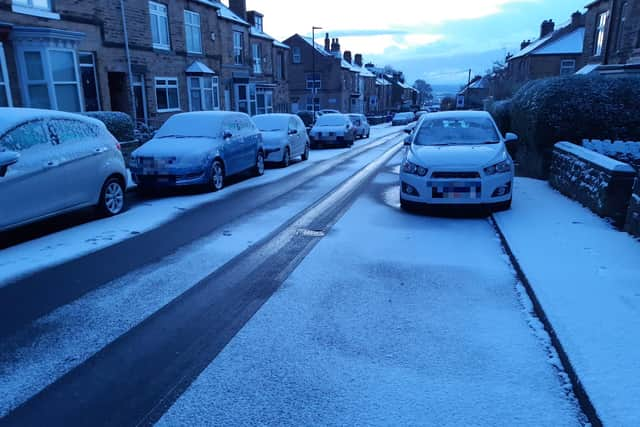


No more snow is forecast in Sheffield after that, though temperatures are expected to dip to 0C tonight, Friday night and Saturday night.
On Friday, the Met Office is predicting sunny intervals early on, changing to heavy showers by lunchtime.
The weekend is expected to be largely dry, with sunny intervals in the mornings on both Saturday and Sunday changing to cloudy conditions by lunchtime.
Advertisement
Hide AdAdvertisement
Hide AdNext week, a high of 12C is expected on Monday and Tuesday, when it will remain cloudy, and it is forecast to be milder overnight, with a low of 9C on Monday and 7C on Tuesday.
A yellow weather warning for ice, covering parts of South Yorkshire, including Doncaster, but not Sheffield, is in place from 9pm tonight until 10am on Friday.
The Met Office weather warning states that snow and hail showers could lead to icy surfaces, with possible travel disruption.
It says up to 3cm of snow is possible, mainly above 200m, with 5cm in parts of Scotland, Northumberland and the North York Moors above 300m. The odd covering is possible at lower levels but this is likely to be short lived.