Covid Sheffield: Every neighbourhood where cases are rising as restrictions come back into force

and live on Freeview channel 276
The latest figures available show the number of new cases per 100,000 people in Sheffield hovered just below 300 for the week ending November 24 – not much different from where it was in the two weeks beforehand.
There were 1,743 new confirmed Covid-19 cases across the city in that period – a weekly rate of 297.1.
Advertisement
Hide AdAdvertisement
Hide AdWhile this is still high, it compares to October, when rates were above 400.

It also compares to the current UK rate in the week leading up to November 29 of around 450.
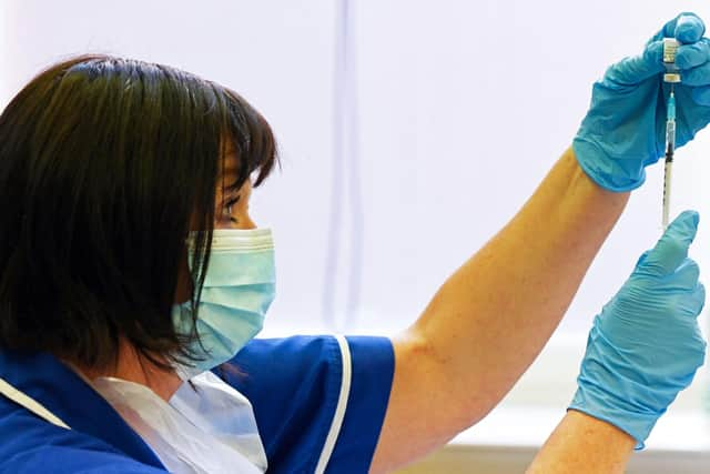
It comes as the Government has announced “precautionary” Covid restrictions will be enforced in England again starting today in response to the emergence of the Omicron variant.
Masks will be required in shops and on public transport. Students in secondary school are also being advised to wear masks at school.
Advertisement
Hide AdAdvertisement
Hide Ad
Two cases of the variant, which was first recorded in South Africa last week, have been confirmed in England.
Early evidence suggests the mutated virus is more transmissible and potentially resistant to current vaccines.
Below are all the areas of Sheffield which saw a rise in cases during the week ending November 24, the latest date for which more localised figures are available.
For each area, the weekly case rate for the seven days to November 24 is listed first, followed by the percentage increase from the previous week in brackets.
Advertisement
Hide AdAdvertisement
Hide AdSpringvale & Steel Bank: 400 (71.4% increase from previous week)
Broomhall: 190 (70%)
Shirecliffe & Parkwood Springs: 601 (55.6%)
Hackenthorpe: 495 (47.4%)
Crabtree & Fir Vale: 254.7 (47.1)
Cathedral & Kelham: 80.8 (46.2%)
Wadsley & Marlcliffe: 641.4 (42.3%)
Charnock & Basegreen: 392.3 (41.2%)
Intake: 349.5 (36.8%)
Beauchief: 453.4 (36.8%)
Southey Green East: 240.2 (35.7%)
Sothall: 874.4 (31.4%)
Devonshire Quarter: 110 (30%)
Brincliffe & Sharrow Vale: 379.3 (24%)
Walkley: 560.6 (23.8%)
Norfolk Park: 310.8 (20%)
Heeley & Newfield Green: 293.3 (20%)
Gleadless: 426.5 (17.4%)
Beighton: 490.6 (16%)
Littledale & Handsworth North: 300.1 (14.8%)
Woodseats: 405.8 (14.8%)
Bents Green & Millhouses: 248.2 (14.3%)
Parson Cross: 327.1 (10.3%)
Firth Park: 165.5 (7.7%)
Oughtibridge & Bradfield: 653.8 (4.9%)
Broomhill & Lower Crookesmoor: 310.9 (4.2%)
Ecclesall & Greystones: 399.6 (2.8%)
Comment Guidelines
National World encourages reader discussion on our stories. User feedback, insights and back-and-forth exchanges add a rich layer of context to reporting. Please review our Community Guidelines before commenting.